Pages
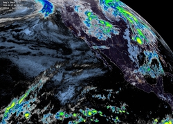
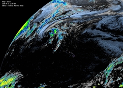
Latest Satellite Imagery
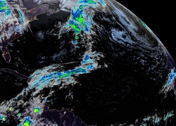
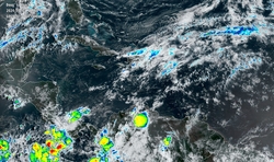
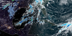
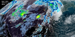
Latest satellite imagery from GOES-16 and GOES-18. Click on the images to view the full size. The imagery is typically 20 minutes behind real time and update every 10 minutes.
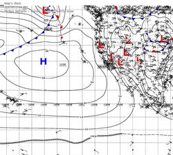
Latest Surface Analysis
Latest surface analysis from the Tropical Analysis and Forecast Branch of the NHC. Click on the images to view the full size. The analysis is for a six-hour period at 00 UTC, 06 UTC, 12 UTC, and 18 UTC. They are typically released 3 hours later (03, 09, 15, and 21).
